

| Adjacent Waterways . . |
| Upstream . . |
| Carrick – Lanesboro |
| Downstream . . |
| Athlone – Portumna |
Waterway Walks
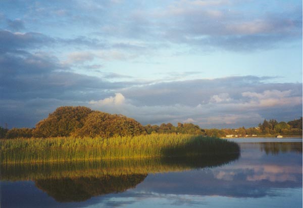
Index of Walks by Lough Ree
![]()
Walks by Lough Ree in downstream sequence:
Maps:
Office of the Admiralty
– Chart 5078. 1844. Lough Ree.
CAUTION: This chart has not been corrected since first date of publication and should be used with caution.
Ordnance Survey of Ireland, Discovery Series 1:50,000
– Map 40, Lough Forbes to Cribby Islands, Lough Ree
– Map 47, Cribby Islands, Lough Ree to below Shannonbridge
The need for two OS maps contrasts with the excellent situation on the Erne where each of the lakes is covered by a single 1:25000 series map i.e., a total of two maps covers two large lakes. The maps of Lough Erne provide significantly more detail including submarine contours and navigation details. Hopefully a map of similar quality covering Lough Ree will be published shortly.

Rindoon
The Clogas on Inchcleraun
By Barley Harbour
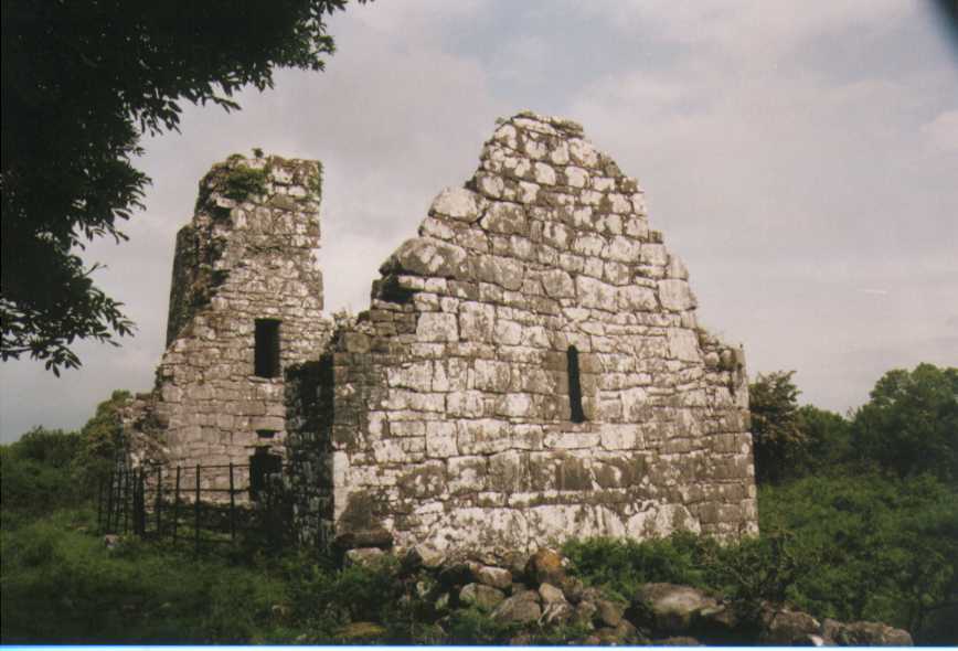
| Rindoon * * * |
2 km; 0.5 hrs; Start: Map 40 N006544 Cross country by farmland & shore & woods. Historic |
|
|
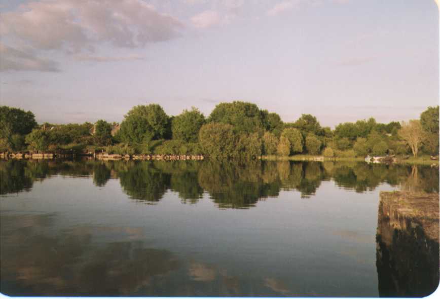
Another fascinating place to visit. Best approached from Safe Harbour (provided the wind is not blowing from the east). Go ashore by dingy. Rindoon Castle is well worth a visit. The Castle was built in the thirteenth century. After visiting the Castle the next challenge is to find the ruined windmill in the woods to the south of the Castle. Next head north-west along the north-east shore of Carrownure Bay and visit the Town Wall. As you return towards your dingy along the shore of St John’s Bay contemplate what a visit to the peninsula would have been like when it was a thriving early Norman town. Occasionally we have anchored in Carrownure Bay at about M999543 and gone ashore by dingy on the west shore of the peninsula. To approach, follow the main navigation channel to a position south of red buoy number 4 from which you have a clear view of the Bay lying to the north-west. Then, using Admiralty Chart 5078 and the depth sounder for guidance, motor slowly into Carrownure Bay and choose a point at which to anchor. We have anchored in Carrownure Bay on a number of occasions and so far we have not encountered a problem. That said, we would only attempt this in good weather, with the aid of the Admiralty chart and a depth sounder, and at very low revs. The Heritage Council has published a report Rindoon, Co. Roscommon: A Management Plan. Section 2 of this report is of particular relevance. It includes extensive information for on-line viewing about Rindoon and a number of detailed maps and diagrams. See youtube presentation on Left |
||
Rindoon Castle
At Carrownure Bay
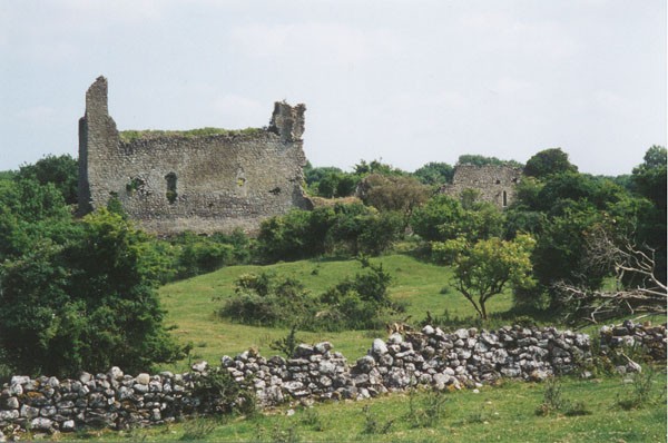
| Portlick * * * * |
5 km; 1.25 hrs; Start: Map 47 N060498 On paths & roads by woods & farmland; Historic |
|
| A wonderful walk exploring the wooded glades and farmlands of Portlick and the Whinning peninsula. Most of the walk is close to the lake shore. Return by Portlick Castle. Arguably the most enjoyable walk by Lough Ree. Visit the page. |
||
BallyKeeran