

| Adjacent Waterways . . |
| Upstream . . |
| Lough Key & Boyle River |
| Shannon Erne Waterway |
| Downstream . . |
| Carrick – Lanesboro |
Waterway Walks
Index of Walks – Lough Allen to Carrick
Walks from Lough Allen to Carrick in downstream sequence:
The information provided on this page is based on desk research. It is planned to include some notes based on experience of walking the routes. Comments from individuals who have walked the routes would be most welcome. Please send them to webmaster@staging.iwai.ie.
Maps:
Ordnance Survey of Northern Ireland, 1:50,000 Series
– Map 26, Lough Allen and part of Shannon-Erne Waterway
Ordnance Survey of Ireland, Discovery Series 1:50,000
– Map 33, Lough Key, Acres Lake, and St John’s Lough to Lough Forbes
Map 26 is disappointing. At the time of writing the version available in the shops in Dublin is dated 1984. The way-marked trails are not shown on the map. Hopefully the Ordnance Survey of Northern Ireland will publish a more up-to-date version shortly.
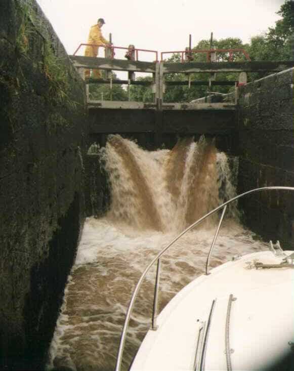
Lough Allen Canal Going up
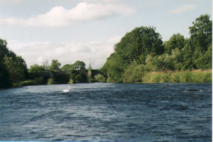
Battlebridge Entrance to Lough Allen Canal