

| Adjacent Waterways . . |
| Lough Allen to Carrick |
| Upper Lough Erne |
Waterway Walks
Index of Walks – Shannon Erne Waterway
Maps:
Ordnance Survey of Northern Ireland, 1:50,000 Series
– Map 26, From St John’s Lough to Garadice Lough excluding a short section on Map 34
– Map 27, Upper Lough Erne and part of Shannon-Erne WaterwayOrdnance Survey of Ireland, Discovery Series 1:50,000
– Map 33, From Leitrim village to St John’s Lough
– Map 34, Section between Ballinamore and Garadice Lough
From a Shannon-Erne Waterway walker’s perspective the above maps are all poor. In particular, none of the towpaths are shown. However, that is not a great problem. The towpaths are clearly shown on the Navigation Charts making up the Navigational Guide to the Shannon-Erne Waterway
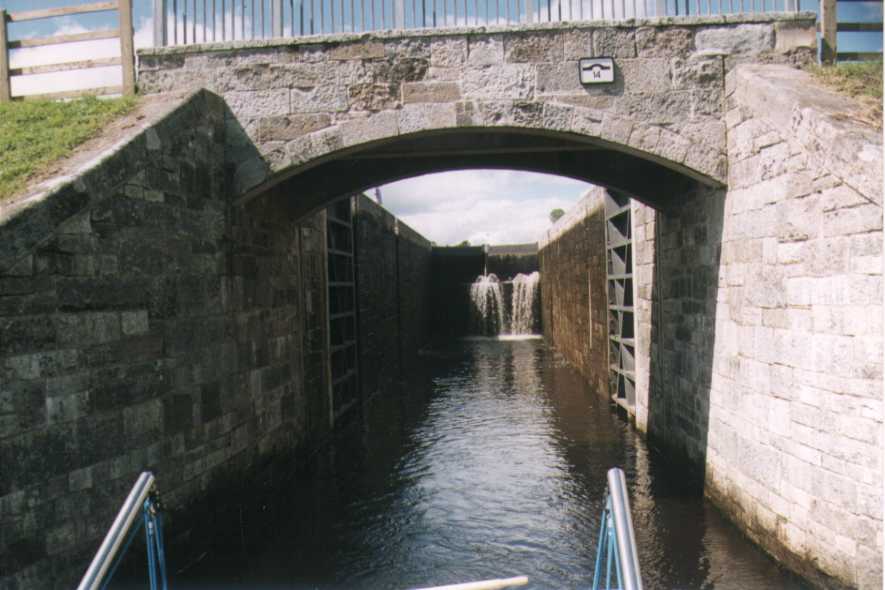
Lock 14
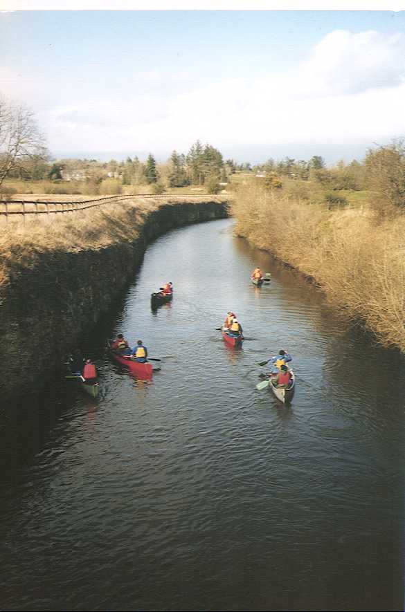
Canoeing near Lough Scur
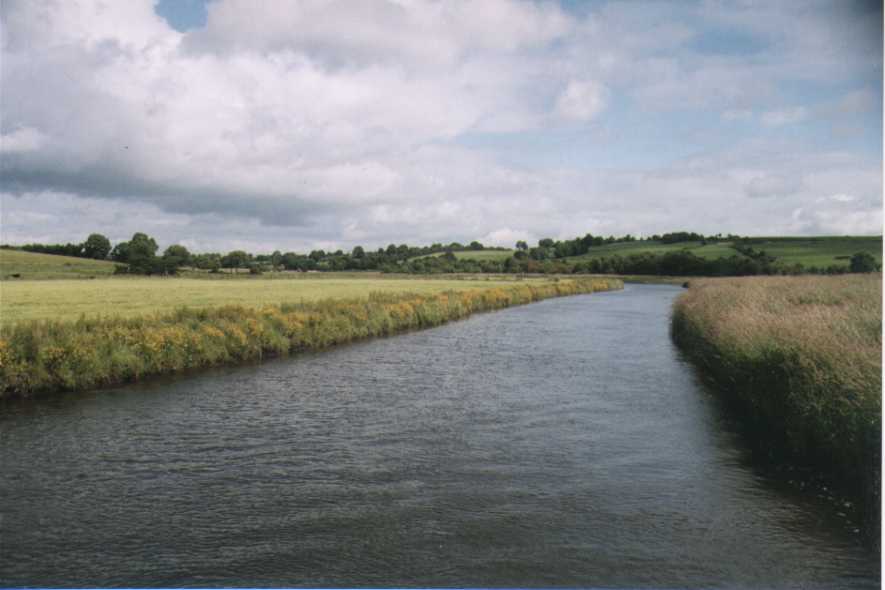
Summer Meadows